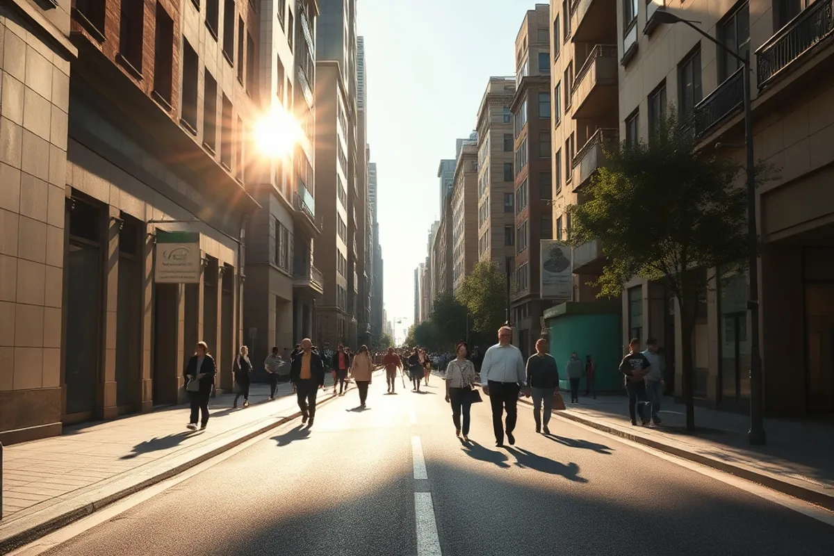
Extreme heat is often described as a weather event, but in a city it behaves like an infrastructure failure. Roads soften, rail lines buckle, power demand spikes and the people least able to cool down are the ones most exposed.
Urban leaders are responding with a mix of short-term emergency planning and long-term redesign. The most credible plans share a common starting point: they measure heat block by block instead of treating the whole city as one temperature.
Key facts
- Dense neighbourhoods with little tree cover can run several degrees hotter than nearby suburbs.
- Heat plans work best when cooling centres, transport and public messaging are coordinated.
- Night-time temperatures matter as much as daytime peaks for health outcomes.
- Tree planting helps, but only where irrigation and maintenance are funded.
Contents
- Heat as an infrastructure problem
- Mapping the hottest blocks
- Cooling public space
- Rethinking working hours
- Protecting the most vulnerable
- The budget question
- What effective plans have in common
Heat as an infrastructure problem
When temperatures climb, demand for electricity, water and emergency services rises at the same moment that equipment becomes less efficient. Transformers run hotter, water pipes expand and ambulances face longer response times.
Treating heat as infrastructure changes the questions a city asks. Instead of only warning residents to stay indoors, planners ask which substations are at risk, which routes lack shade, and which buildings have no way to cool a single room. Our report on record grid demand shows how quickly those questions become urgent.
Mapping the hottest blocks
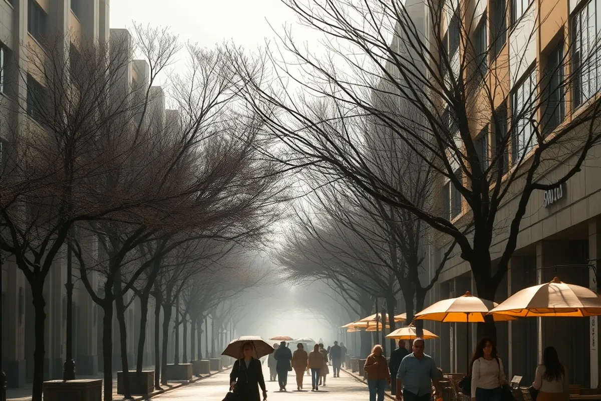
Satellite data, mobile sensors and street-level surveys now allow cities to build heat maps at the scale of a block. The maps combine surface temperature with tree cover, building materials, income data and access to cooling.
The results are often surprising. A wealthy district with large gardens can be cooler than a nearby apartment area, while an industrial fringe may heat up earlier and stay hot longer. Mapping makes it harder to spread resources evenly and call it fair.
Cooling public space
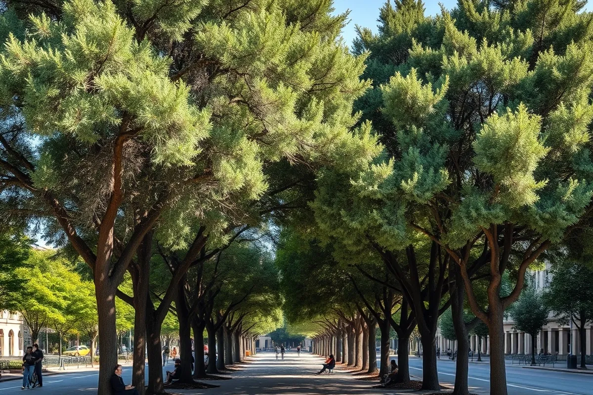
Trees, shade structures, water features and reflective surfaces all lower local temperatures, but they perform differently depending on humidity, wind and maintenance. A fountain that looks impressive can be useless if it is switched off during a drought.
The most effective projects combine shade with a reason to stop. A covered bus stop, a shaded playground and a cool library entrance do more than a decorative planter. Cities that succeed tend to fund maintenance for a decade, not just installation for a photo opportunity.
Rethinking working hours
Outdoor work, deliveries and construction are being rescheduled around peak heat. Some cities have introduced mandatory rest periods and staggered start times for exposed trades.
These rules protect workers, but they also shift traffic and noise into cooler hours. Neighbours notice. Good plans consult residents and businesses early, because a policy that looks sensible on paper can fail if it simply moves the burden to another group.
A heatwave does not treat a city equally. It finds the streets where shade, money and time are already scarce.
Protecting the most vulnerable
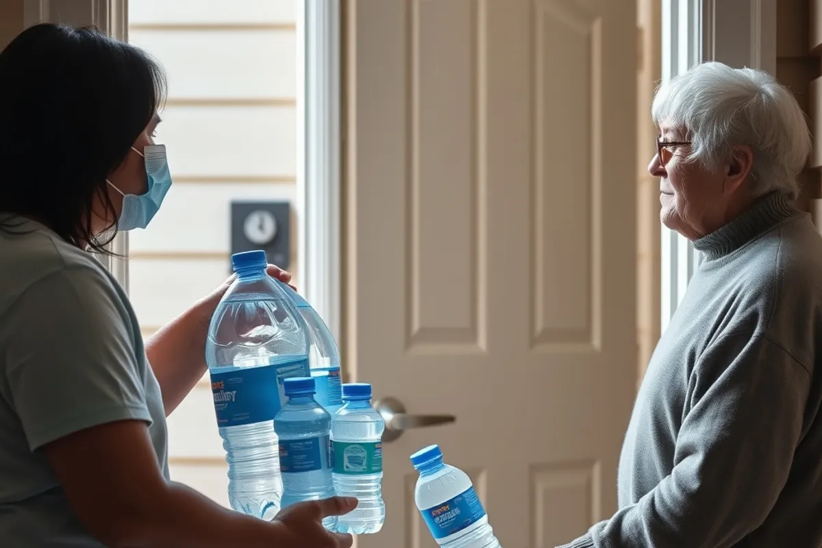
Older people, infants, people with chronic illness and those living alone face the highest risk. So do residents of top-floor flats and people who cannot afford to run air conditioning.
Effective outreach uses existing networks: pharmacies, libraries, faith groups, schools and home-care visits. A text message is not enough for someone who is isolated. Cities that build trust before a heatwave can check on people during one without appearing intrusive.
The budget question
Cooling infrastructure competes with roads, schools and emergency services for limited funds. Heat is also less visible than a flood, which makes it easier to defer spending until after a crisis.
Some cities are reframing the cost. Heat reduces productivity, raises hospital admissions and damages roads and rails. Counting those losses gives councils a stronger case for preventive spending, even when the benefit arrives in a future budget cycle.
What effective plans have in common
The strongest plans are specific. They name the streets, buildings and groups at risk, set triggers for opening cooling centres, and explain who is responsible when a trigger is hit. They are tested before summer, not rewritten during it.
They also accept that heat will keep returning. A one-off emergency response is not adaptation. Permanent shade, better housing and reliable power are. For a closer look at how forecasts feed these decisions, see our weather watch guide.